
It looks like Carroll County will see some additional snow on Monday January 15th (and maybe into the early morning on January 16th). The County is under a Winter Weather Advisory until 10am on Tuesday (January 16th). Here is a look at that advisory:
…WINTER WEATHER ADVISORY NOW IN EFFECT UNTIL 10 AM EST TUESDAY…
* WHAT…Snow expected. Total snow accumulations of 2 to 4 inches.
* WHERE…Portions of north central, northeast and northern
Maryland.
* WHEN…Until 10 AM EST Tuesday.
* IMPACTS…Plan on slippery road conditions. The hazardous conditions could impact the morning or evening commute.
* ADDITIONAL DETAILS…Snow is either ongoing or will begin shortly. A brief lull in the snow may occur late this morning into early this afternoon. Snow will pick back up again from mid- afternoon through tonight.
Here is a look at the weather forecast from the National Weather Service:
M.L.King Day: A chance of snow before 10am, then a chance of snow after 1pm. Cloudy, with a high near 28. West wind around 6 mph becoming south in the afternoon. Chance of precipitation is 50%.
Monday Night: Snow. Low around 25. Southeast wind around 7 mph. Chance of precipitation is 90%. New snow accumulation of 2 to 4 inches possible.
Tuesday: Snow likely, mainly before 10am. Mostly cloudy, with a high near 30. East wind 6 to 13 mph becoming northwest in the afternoon. Winds could gust as high as 20 mph. Chance of precipitation is 70%. New snow accumulation of 1 to 2 inches possible.
Here is a look at some additional sources online (Twitter / X using the #MDWx hashtag and other local weather reporters:
Winter Weather Advisories are in effect for all of the forecast area through early Tuesday morning. Light snow this morning may ease up around mid-morning before steadier snow overspreads the area mid-afternoon through tonight. Visit https://t.co/ZOlvEShgSf for more details. pic.twitter.com/wyid0dWvAd
— NWS Baltimore-Washington (@NWS_BaltWash) January 15, 2024
Today's forecast from the @WJZ First Alert Weather Team #mdwx pic.twitter.com/v9juOFGIph
— Derek Beasley (@DerekBeasleyWX) January 15, 2024
Happy Monday ❄️! Early burst of snow Monday will move out midday. There’s more snow that’ll move in this afternoon through Tuesday morning. 1-4” of snow possible. Travel impacts & delays are likely Tuesday AM @fox5dc pic.twitter.com/MlxwhAktmO
— Taylor Grenda (@TaylorGrenda) January 15, 2024
Here's a look at tomorrow's forecast across the region. #mdwx pic.twitter.com/g7tARKetxu
— Derek Beasley (@DerekBeasleyWX) January 15, 2024
MLK Day will be cold. We'll start with mostly cloudy skies, but by the late afternoon, snow will move into our area, continuing into early Tuesday morning.@FOXBaltimore #mdwx https://t.co/dldUM5pded pic.twitter.com/bKwiaKoZdK
— Jasmine ⛈ (@JasmineLomaxWx) January 15, 2024
I think the HREF has a good idea as to what to expect for total snow accumulation general widespread 2-4” with isolated 5” amounts possible. pic.twitter.com/LUvUlqq9ow
— Jack Rudden (@JackRuddenWX) January 15, 2024
Here is our official first call for our upcoming winter storm with us calling for 3-5" across much of the region. Snow will easily stick on untreated surfaces as there will be plenty of cold air in place. Some folks could even see totals higher than 5 inches. #vawx #mdwx #dcwx pic.twitter.com/XOM1lRfltm
— Washingtonian Weather Geeks (@WashingtonianWx) January 15, 2024
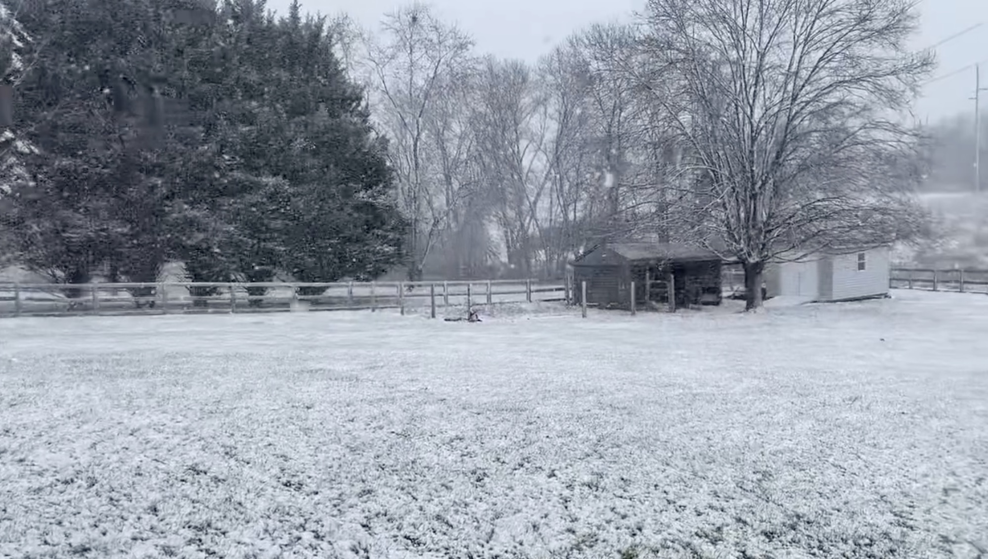
We got lucky yesterday (in southern central Carroll County) with very little snow fall and most of it was gone very quickly:
@carrollobserver Crazy how yhings can change in just a couple of hours in Carroll County. #carrollcountymd #mdwx #maryland #finksburgmd
Be sure to follow the various social media accounts for The Observer for photos and videos as the day moves forward:
- https://facebook.com/CarrollObserver
- https://tiktok.com/@carrollobserver
- https://twitter.com/CarrollObserver
- https://instagram.com/carrollobserver/
- https://youtube.com/@carrollobserver
- https://truthsocial.com/@carrollobserver
- https://rumble.com/c/c-4218154


