
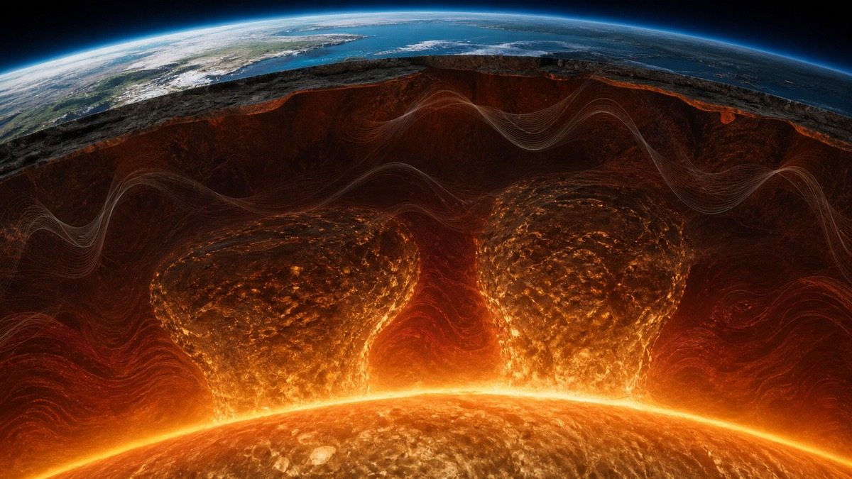
Earthquake waves arrive at scientific instruments carrying traces of places no drill could ever reach. Near the bottom of the mantle, those signals change in ways that reveal two immense, irregular regions sitting above the planet’s outer core. Their scale is real; the popular mountain comparisons need a little care.
Geophysicists call them large low-shear-velocity provinces, or LLSVPs. One lies broadly beneath Africa and the other beneath the Pacific. Their bases are near the core-mantle boundary, roughly 1,800 miles, or 2,900 kilometers, below the surface. They are inferred from seismic data rather than photographed or directly sampled.
What “taller than Everest” does and does not mean
Mount Everest rises about 5.5 miles, or 8.8 kilometers, above sea level. Models of the LLSVPs suggest that portions may rise hundreds of miles into the mantle, with commonly cited upper estimates around 620 miles, or 1,000 kilometers, above the core-mantle boundary. On that vertical scale, Everest is small.
That does not make the provinces underground mountains with measured summits. Seismic tomography has limited resolution, and researchers draw boundaries by interpreting changes in wave speed. The resulting shapes vary among datasets and modeling choices. “Taller than Everest” is therefore an analogy for estimated vertical extent, not a tape-measure reading of a buried peak.
Height is only part of their scale. Each province extends laterally for thousands of kilometers; the Pacific feature alone is often modeled at roughly 3,000 kilometers across. They are closer to continent-scale volumes of unusual mantle material than to isolated towers. Even the word “blob,” common in news stories, hides how complex their edges may be.
How an earthquake maps an unreachable boundary
Earthquakes send several kinds of waves through the planet. Shear waves, which move rock from side to side, travel more slowly through the LLSVPs than through much of the surrounding lower mantle. That behavior gives the features their full name: “large low-shear-velocity provinces.”
Seismologists compare when waves reach stations around the world, the paths they followed, and how their energy changed. Computer models then reconstruct a three-dimensional picture, somewhat as a medical scan builds an image from indirect measurements. The comparison is useful, but Earth offers far fewer viewing angles than a hospital scanner and its deep structures are vastly larger.
Low velocity can point to higher temperature, a different chemical composition, or both. Sharp boundaries identified in some studies have made a purely thermal explanation harder to sustain. Yet the observations do not settle every property. Density, mineral grain size and the way material mixes over geologic time remain active areas of research.
A 2025 result added another clue
A team led by Utrecht University researchers published a global three-dimensional model of mantle attenuation in Nature in 2025. The study examined not only how quickly seismic waves traveled, but also how much energy they lost. That second measurement complicated a familiar assumption.
Waves slowed inside the LLSVPs, yet they were damped less than expected for regions explained simply as hotter mantle. The researchers connected this combination to the possibility of larger mineral grains, which could indicate that the material has remained relatively stable for a very long time. The paper’s wording is appropriately cautious: attenuation supplies evidence, not a birth certificate.
The result supports the idea that these provinces may be compositionally distinct and ancient, potentially older than a billion years. It does not prove one origin story. Proposed explanations include piles shaped by subducted oceanic plates, long-lived thermochemical reservoirs, and even material linked in some models to the Moon-forming impact. These hypotheses make different predictions and are still being tested.
Why the deep mantle matters at the surface
LLSVPs sit where the solid mantle meets the liquid outer core, a region central to the transfer of heat through the planet. Their margins are often discussed alongside mantle plumes and volcanic hotspots. Establishing whether they move, deform or persist could change models of mantle circulation over immense timescales.
Researchers are also trying to determine whether the two great provinces share the same history. Similar slow-wave signatures do not guarantee identical composition. Better global station coverage, refined waveform analysis and laboratory measurements of minerals at extreme pressure can narrow the possibilities, but no single observation can finish the map.
The striking scale should not obscure the method. Scientists have not found caverns or solid continents sitting intact beneath Africa and the Pacific. They have found repeatable seismic patterns that demand an explanation. The structures are enormous by every reasonable model, while their exact outlines, composition and age remain questions written in earthquake waves.
